
LIVE TODAY
The evidence foundation.
- AI alpha launched
- Android GPS collection pilot
- Signed observations and offline uploads
- Live collection totals and network activity
A clearer picture starts with real evidence. Our collectors are already gathering observations from sea and shore, building the foundation for SeaVerity’s AI.
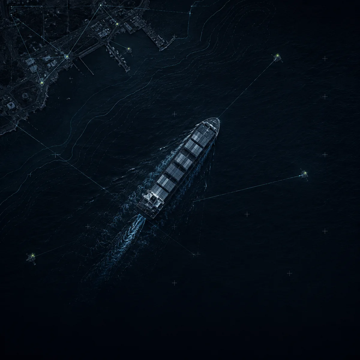
See the evidence as it arrives. Explore collector activity by country and sea, with collection totals updated every five minutes.
All-time evidence collected across the entire network.
Retrieving real observations from our evidence service.
Map numbers count collectors; the captured total is all-time evidence. Time filters use when evidence was recorded. Map markers show country totals, not precise locations. Sea reports are shown by name in the activity list.
Independent evidence adds context to maritime signals. Here’s how it comes together.
LIVE COLLECTION
Collectors capture GPS observations from their devices, even when connectivity drops.
THE OBSERVATION
The AI alpha is live. Follow the progress from an active evidence network to a richer intelligence layer.
Get alpha updatesCorrelation with maritime signals, confidence and verification workflows, and useful outputs for customer teams.
The maritime decisions shaping our roadmap, from operations to investigation.
Build an independent picture of where a vessel has been, with field observations alongside existing tracking signals.
Presence evidenceBring scattered observations into context when a reported event needs a closer look and a defensible trail.
Reviewable event historyExplore how independent observations could add context to arrivals, anchorage activity, and movements around port.
Port & anchorage contextCorroborate the signals you have and identify where more evidence is needed when an AIS story is incomplete.
Cross-source corroborationWhat’s live, what the data means, and how to take part.
The SeaVerity AI alpha is live, and the collection network is already receiving evidence. Our Android pilot supports GPS capture, signed observations, offline storage, and uploads. The counters and map on this page show real data from the evidence service.
A data point is a collected evidence record reported by our evidence service. It is not a count of completed AI analyses, verified events, or unique vessels. Collection totals show the growing evidence foundation for the AI alpha.
Map markers count collectors by country using the latest evidence record for each collector. The activity list shows each collector’s public label and country or sea. Collectors are counted by their reporting label, which is not necessarily a distinct device.
The page checks for new data every five minutes while you’re viewing it. Time filters use the time evidence was recorded, which is different from when it was uploaded. The public feed does not provide exact positions or guarantee a current physical location.
The public feed shares a collector label, recording time, and a country or sea name. Country markers show collector totals, not precise locations. Sea reports remain in the activity list. Device identifiers, wallet addresses, and precise GPS coordinates are not part of this view.
Use the EthraShip interest form to receive SeaVerity updates and tell us how you’d like to participate. We’re interested in hearing from maritime operators, data contributors, and potential partners as the alpha develops.
Bring your perspective.
Help shape the next chapter of maritime intelligence.